
Introduction
Forests play a critical role in our ecosystem, and effective management is essential for their health and sustainability. Leveraging advanced drone technology, we propose a comprehensive case study that demonstrates how the combination of Agrip drone platform, DJI Dock, DJI Matrice 30T, and DJI Mavic 3M can revolutionize forest management across various use cases.
Use Cases
1. Wildlife Monitoring and Conservation
- Objective: To monitor wildlife populations, detect endangered species, and assess their habitat.
- Solution:
- Setup your flight paths in Agrip platform
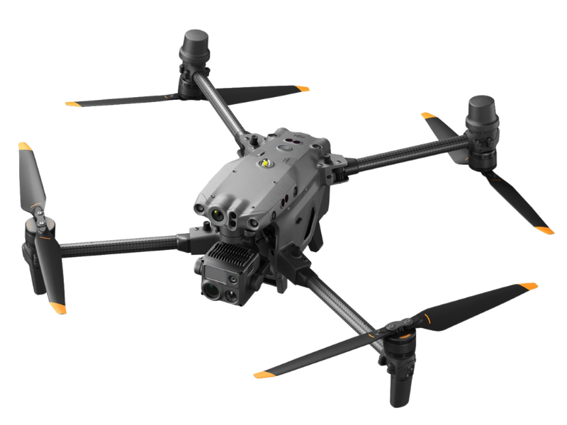
- Deploy the DJI Matrice 30T equipped with a thermal imaging camera.
- Fly over forested areas during dawn or dusk to capture thermal signatures.
- Agrip can leverage AI to identify animals based on their heat emissions (e.g., mammals, birds, reptiles).
- Generate heat maps to pinpoint wildlife hotspots and view it on your mobile phone anywhere
- Benefits:
- Early detection of poaching or illegal activities.
- Improved conservation efforts by tracking animal movements and behavior.
2. Forest Fire Detection and Prevention
- Objective: To identify and respond swiftly to forest fires.
- Solution:
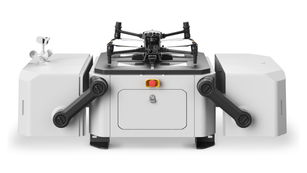
- Use the DJI Matrice 30T and DJI Dock for rapid fire detection.
- Setup your scheduled flight path in Agrip platform
- Regularly survey forested regions, especially during dry seasons automatically.
- Use Agrip AI to spot smoke, heat, or flames using the thermal camera.
- Agrip can integrate with alerting systems to alert firefighting teams for timely intervention.
- Benefits:
- Minimized fire damage and reduced risks to human lives.
- Enhanced situational awareness for firefighting operations.
3. Sapling Growth Analysis
- Objective: To monitor saplings and assess their growth over time.
- Solution:
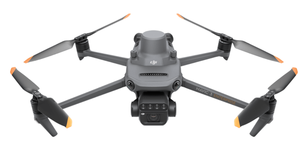
- Deploy the DJI Mavic 3M with RGB and multispectral cameras.
- Capture high-resolution imagery of forested areas.
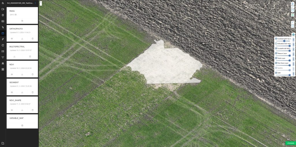
- Use multispectral data to track sapling health, density, and distribution.
- Compare growth patterns across seasons and years inside the Agrip platform.
- Benefits:
- Informed reforestation strategies.
- Early identification of stressed or unhealthy saplings.
4. Forest Damage Assessment
- Objective: To evaluate the impact of natural disasters (storms, pests, disease) on forests.
- Solution:
- Combine the DJI Mavic 3M and DJI Matrice 30T.
- Conduct aerial surveys after storms, insect outbreaks, or disease outbreaks.
- Capture multispectral and thermal data.
- Process the data inside the Agrip platform and leverage AI to detect issues.
- Assess tree health, canopy cover, and damaged areas based on the results and images provided by the platform.
- Benefits:
- Efficient post-disaster assessment.
- Targeted rehabilitation efforts.
5. Illegal Logging Detection
- Objective: To combat illegal logging activities.
- Solution:
- Setup a perimeter and scheduled flights inside the Agrip platform
- Deploy the DJI Matrice 30T from DJI Dock for regular patrols.
- Monitor forested regions for signs of unauthorized tree felling.
- Use thermal imaging to identify freshly cut stumps or suspicious activity.
- Use the integrations and automatically report findings to law enforcement.
- Benefits:
- Reduced environmental degradation.
- Preservation of valuable forest resources.
Conclusion
By using the smart Agrip platform and integrating DJI drones with thermal and multispectral capabilities, forest managers gain unprecedented insights into forest ecosystems. Whether it’s wildlife conservation, fire prevention, or growth analysis, this platform empowers us to protect and sustain our forests for future generations.