
Introduction Forests play a critical role in our ecosystem, and effective management is essential for their health and sustainability. Leveraging advanced…
Agrip
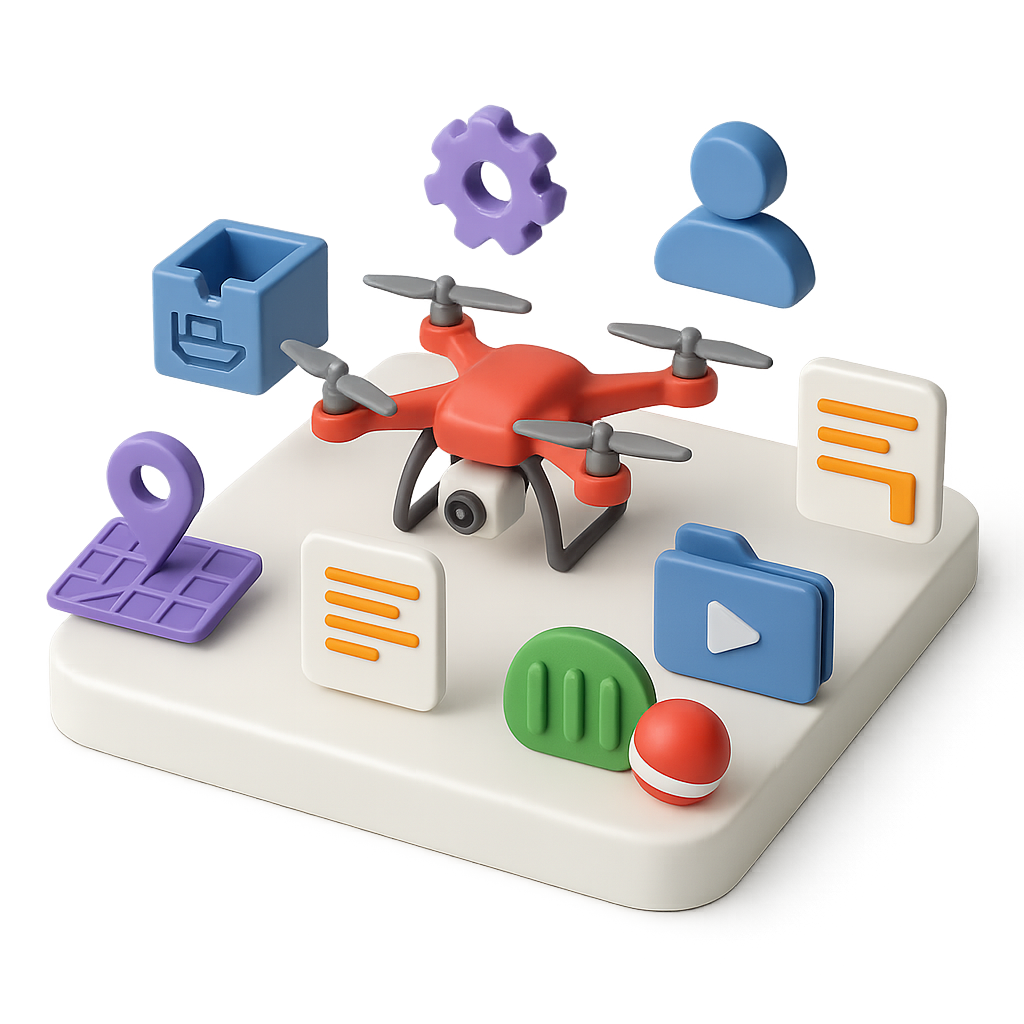
Agrip is a Drone Management Platform that streamlines precision agriculture. Connect your drones, tablets, machinery and manage your data in real-time. Leverage AI and 5G technologies to improve yields and reduce costs.
Manage
Manage
Manage drones, docks, firmware, users, projects, annotations, media, fields and obstacles.
Plan
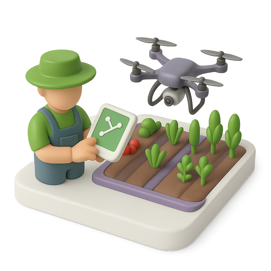
Plan
Use flight templates to plan your flight or let the system plan the optimal flight path for your field automatically.
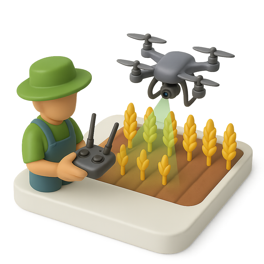
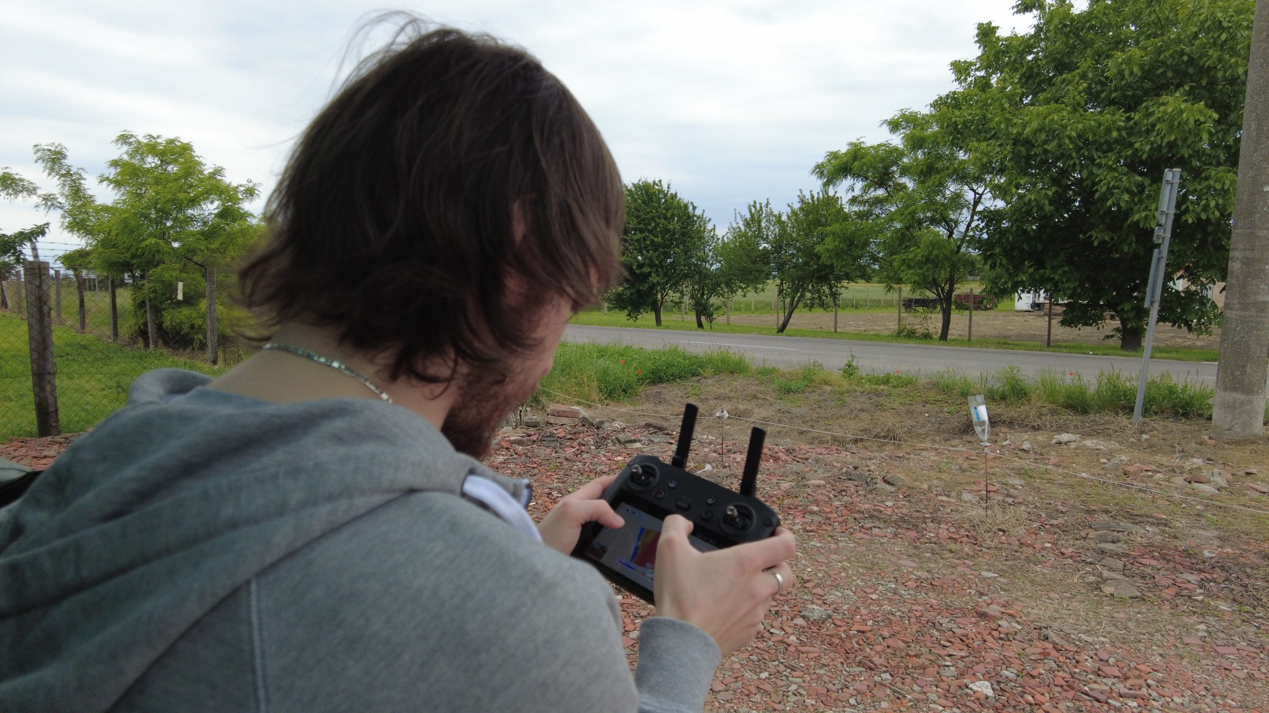
Fly
Fly
Fly from the platform, using the controller or schedule a dock flight. Watch the drone livestream and get live data.
Visualize
Visualize
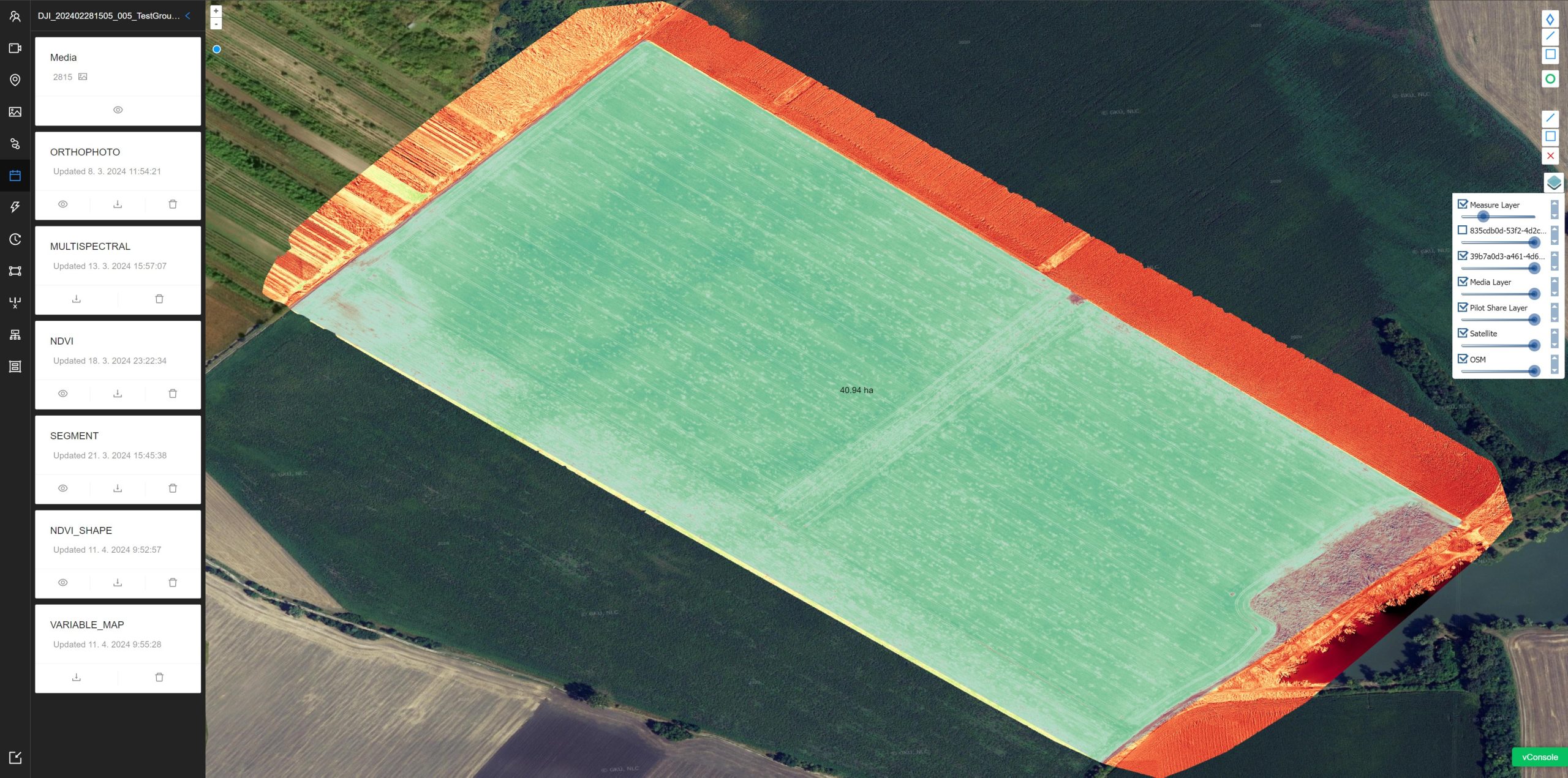
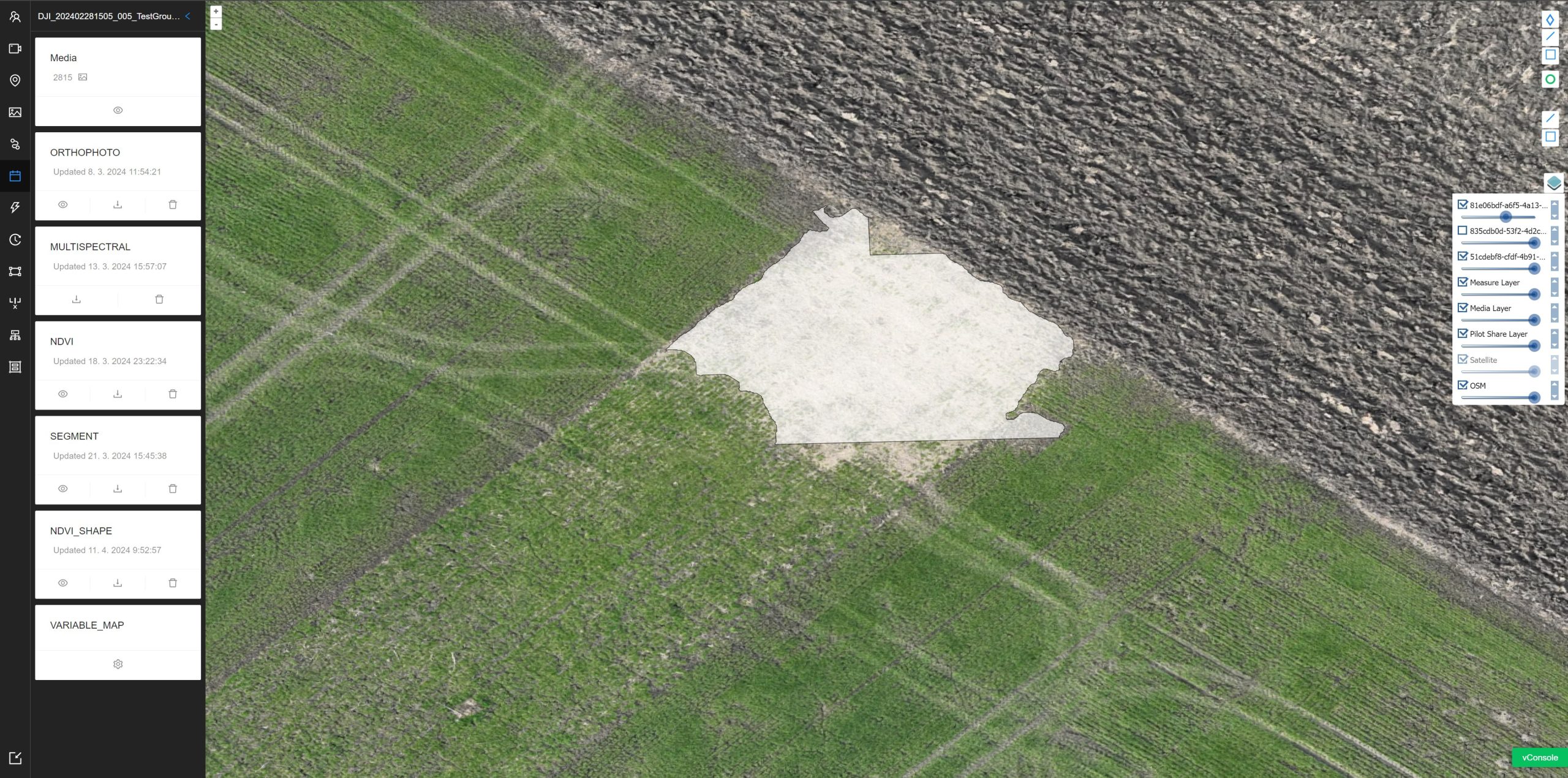
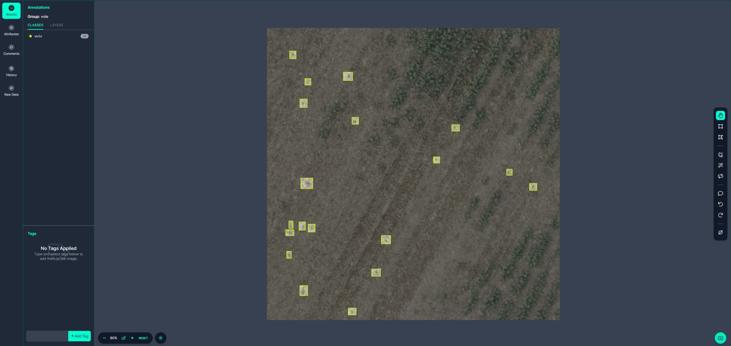
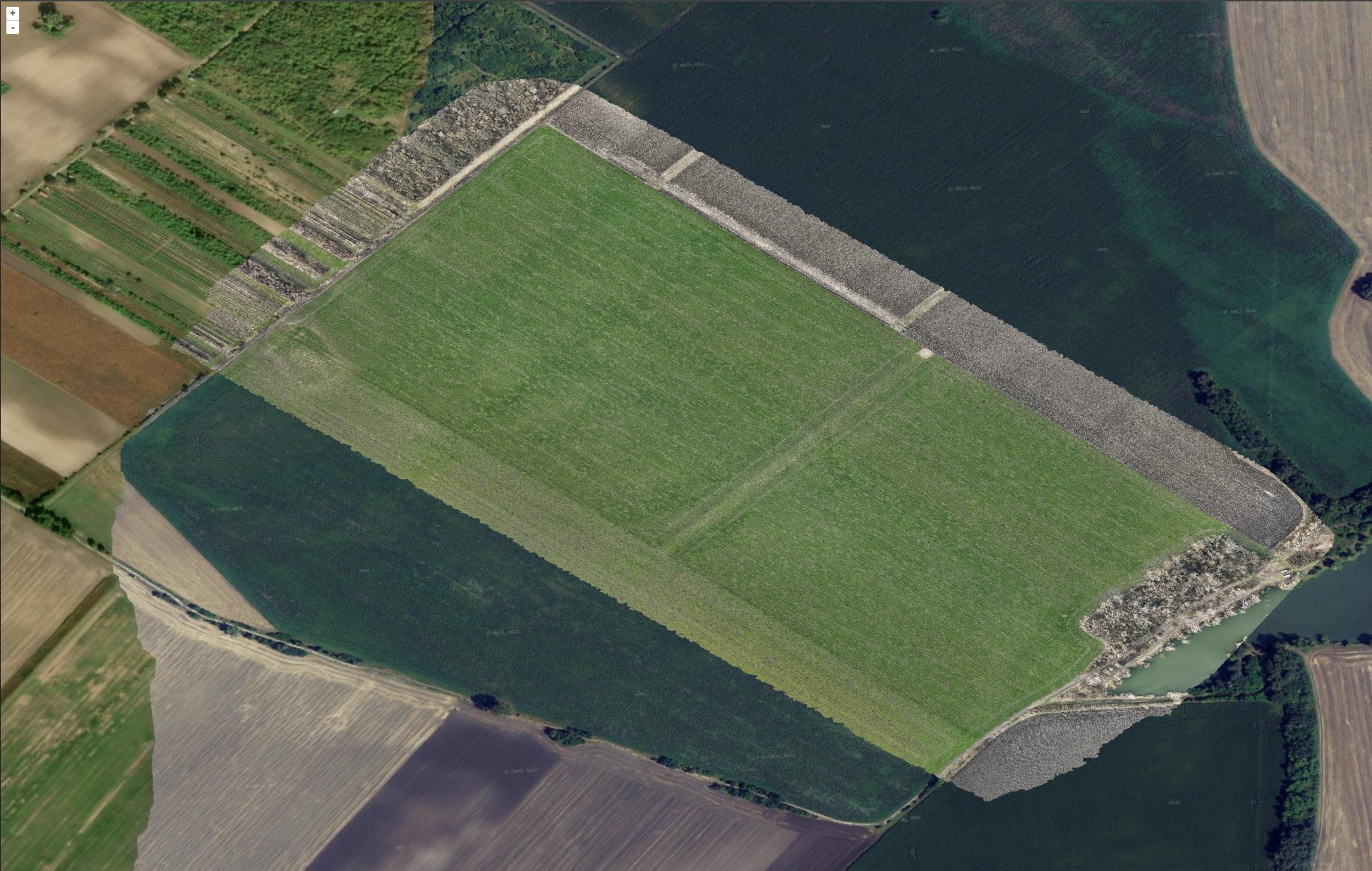
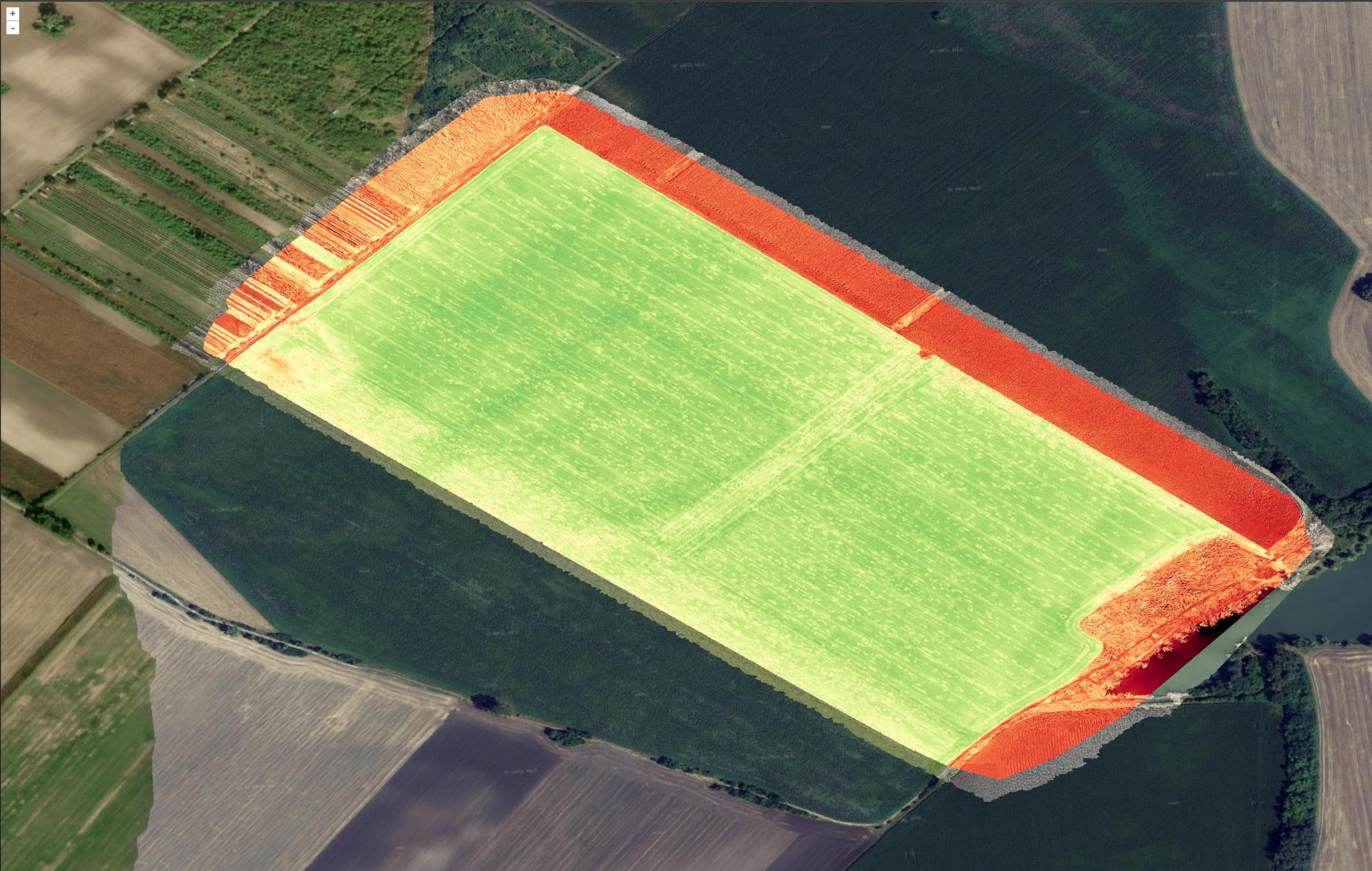
See the history of the field, view orthophotos and NDVI indices. Monitor damaged crops and vole burrows. Measure and annotate the data.
Export
Export
Import or export data to your tractor, drone or computer in all the common formats.
Applications
Farmland scouting and history
Variable application
Damaged crops identification (soon)
Vole holes detection (soon)
Main features
5G Integration
Live interactions
Orthophoto Processing
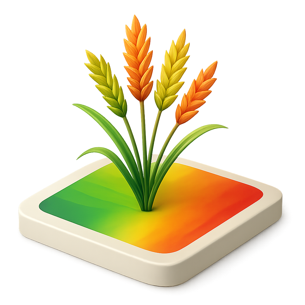
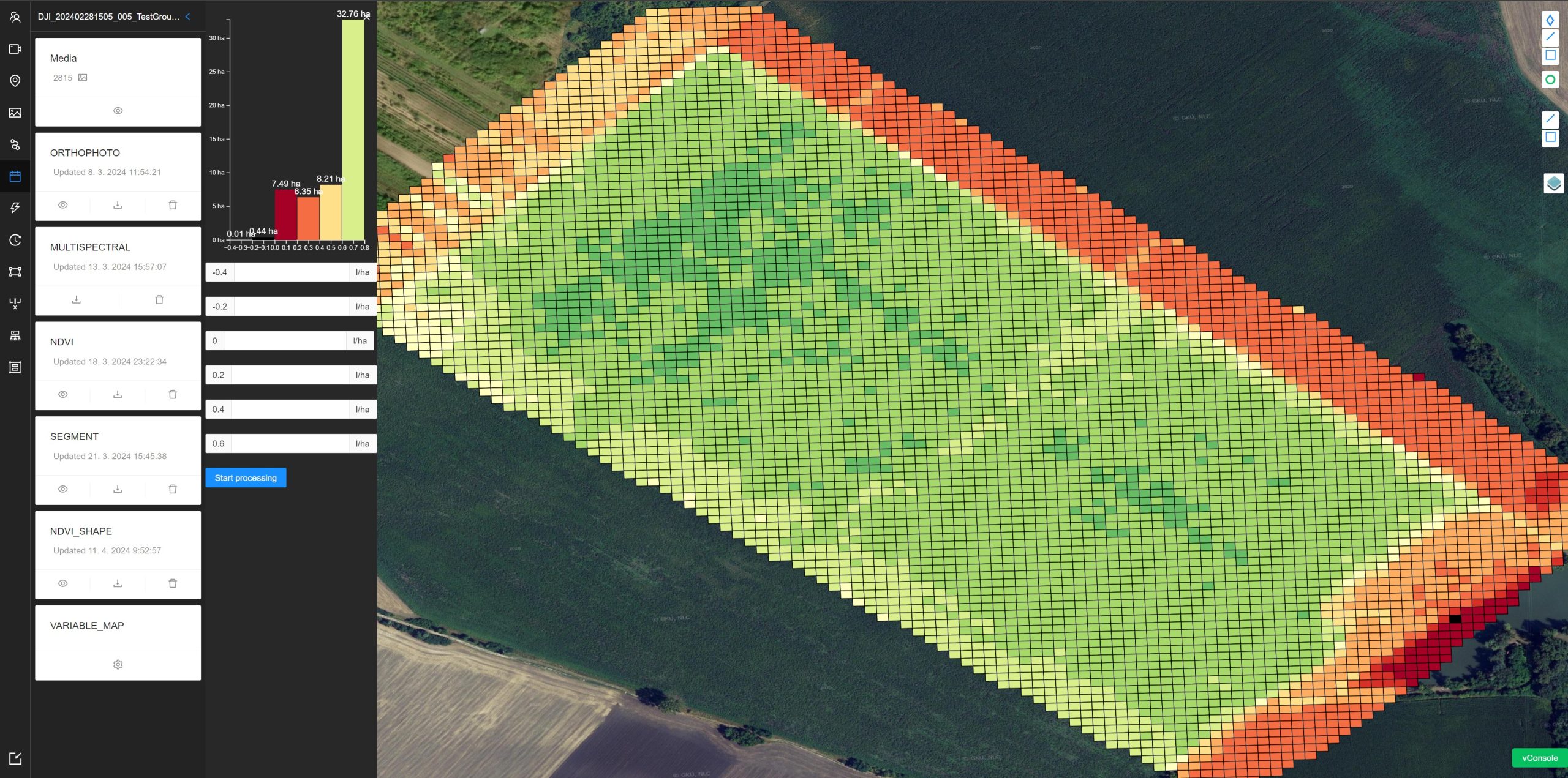
NDVI Index
Variable application
Measurements
Compare
Plan a flight
AI Damaged crops
AI Rodent detection
5G Integration
Thanks to 5G SA technology and edge cloud, get live processing results.
Live interactions
View livestream, communicate with pilot and set the restrictions and interesting points.
Orthophoto processing
Process the RGB and multispectral images into orthophoto mosaic and see it loading fast even on mobile data.
NDVI Index
See the vegetation index directly on the map and evaluate the expected yields.
Variable application
Use the data from indices and prescribe a variable application of spraying or fertilization.
Measurements
Measure lengths and areas directly on the map.
Comparison
Compare the Indices or history of the field.
Plan a flight
Simple and intuitive planning of a flight based on the field and use case.
AI Damaged crops
Use machine vision to locate the damaged crops and use the data further in the pipeline.
AI Rodent detection
Use AI to find rodent holes and send a professional with a tablet to target locations.
Compare
| Category | Feature | Agrip | Pix4D Fields | DroneDeploy | DJI Farmfields |
|---|---|---|---|---|---|
| Inputs | Multispectral Images |  | | | |
| RGB Images | | | | | |
| Pre-processed maps | Soon | |  | | |
| Field boundaries | Soon | | ? | | |
| Annotations | Soon | | | | |
| Satellite data import | Soon | | ? | | |
| Connectivity | 5G optimized | | | | |
| Live Cloud processing | | | | | |
| Edge Cloud ready | | | | | |
| Livestream | | | ? | | |
| Devices | Tablet | | | | |
| DJI Mavic 3M | | | | | |
| DJI Agras | | | ? | ? | |
| DJI Dock 1 and 2 | | | ? | ? | |
| Firmware update | | | ? | | |
| Devices management | | | | | |
| Collaboration | Live annotations with pilot | | | ? | |
| Flight area restrictions with pilot | | | ? | | |
| Flights | Plan a flight | Soon | | | |
| Plan a flight according to field | Soon | | | | |
| Schedule a flight | | | ? | | |
| Share the flight plan with pilot | | | ? | | |
| Tools | Indices generation (NDVI, …) | | | | |
| Zonation tool | | | | | |
| Targeted operations / Prescription maps | | | ? | | |
| Comparison tool | | | ? | | |
| Annotations tool | Soon | | ? | | |
| Measurements tool | | | | | |
| Magic tool | | | | | |
| AI damaged crop segmentation | | | ? | | |
| AI Rodent holes detection | | | ? | | |
| Obstacles | Soon | | ? | | |
| Elevation analysis | Soon | | ? | | |
| AI Field segmentation | | | ? | | |
| Statistics | Soon | | ? | | |
| Reports | Soon | | ? | | |
| Outputs | Orthomosaic | | | ? | |
| Digital surface model | Soon | | ? | | |
| Vegetation index maps | | | ? | | |
| Zonation maps | | | ? | | |
| Prescription maps | | | ? | | |
| Segmented maps | | | ? | | |
| Field boundaries | Soon | | ? | | |
| Annotations | Soon | | ? | | |
| PDF report | Soon | | ? | | |
| Snapshot | Soon | | ? | | |
| CSV Report | Soon | | ? | | |
| John Deere Operations Center | | | ? | | |
| Trimble | | | ? | ? | |
| DJI Agras | | ? | ? | ? |
Case studies
Empowering Drone Pilots with Agrip Platform for Multi-Customer Farm Services
Introduction As the adoption of drone technology continues to grow in agriculture, drone pilots play a crucial role in providing valuable…
Variable Rate Application for Larger Farms with DJI Drones
Introduction Agrip is a drone platform, that provides a comprehensive suite of features for precision agriculture. Among these, Variable Rate Application (VRA) stands…


Projekt je spolufinancován prostřednictvím Technologické agentury ČR v rámci Národního plánu obnovy z evropského Nástroje pro oživení a odolnost.